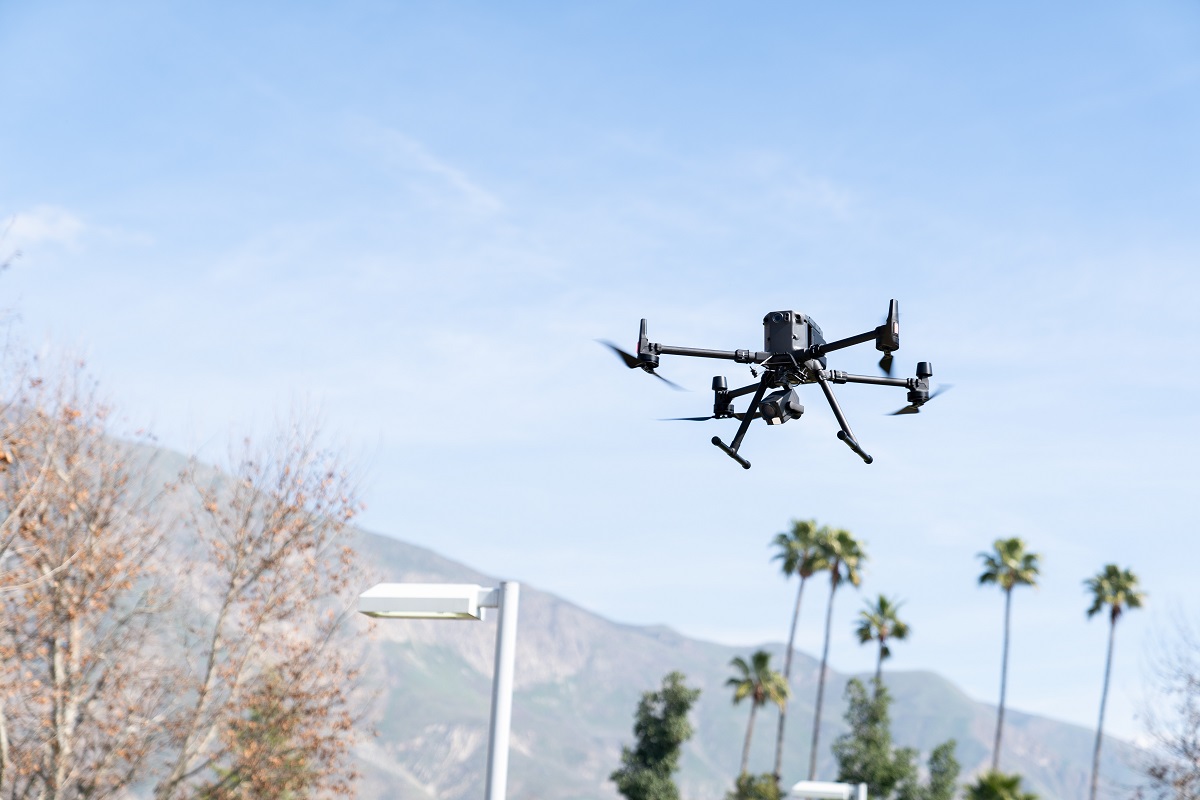
Drone Applications in GIS Certificate
Ready for a career as a drone pilot? Prepare for your commercial pilot's license!
Commercial drone pilots are highly skilled professionals whose skill set requires not only piloting skills but advanced computer applications including geospatial information analysis and digital imaging. The MSJC Drone Applications in GIS Certificate introduces students to careers in advanced drone technology.
Enroll for Summer 2024!
GIS-540-1075 Introduction to sUAS (drone) Systems
- On-line Anytime - Starts June 3rd, 2024
- On-campus - Three (3) Saturday “Flying” Session
- 9:00AM-3:00PM, June 8,15, and 22
California ranked number 1 in the economic benefits with Southern California becoming one of the major players in the use of drone technology in many applications. The use of drones is a rapidly growing industry set to revolutionize the business and industry world as well as governmental safety and social services.
Drone Applications in GIS Certificate Courses
- GIS 540 Introduction to sUAS (drone) Systems
- GIS 550 Introduction to Remote Sensing and Drone Data Processing
- GIS 551 Digital Imaging with Drones
- GIS 552 Digital Imaging with Drones II
- GEOG 106 Meteorology: Weather and Climate
- GIS 115 Introduction to Geographic Information Science
- GIS 520 Intermediate Geographic Information Systems

Geospatial Information Sciences involves the preparation, analysis, and scientific research necessary for identifying patterns, trends, and relationships that are represented in space and time. GIS integrates many types of data. Drone technologies aides in the collection, organization, and analyses of layers of information never before possible.

