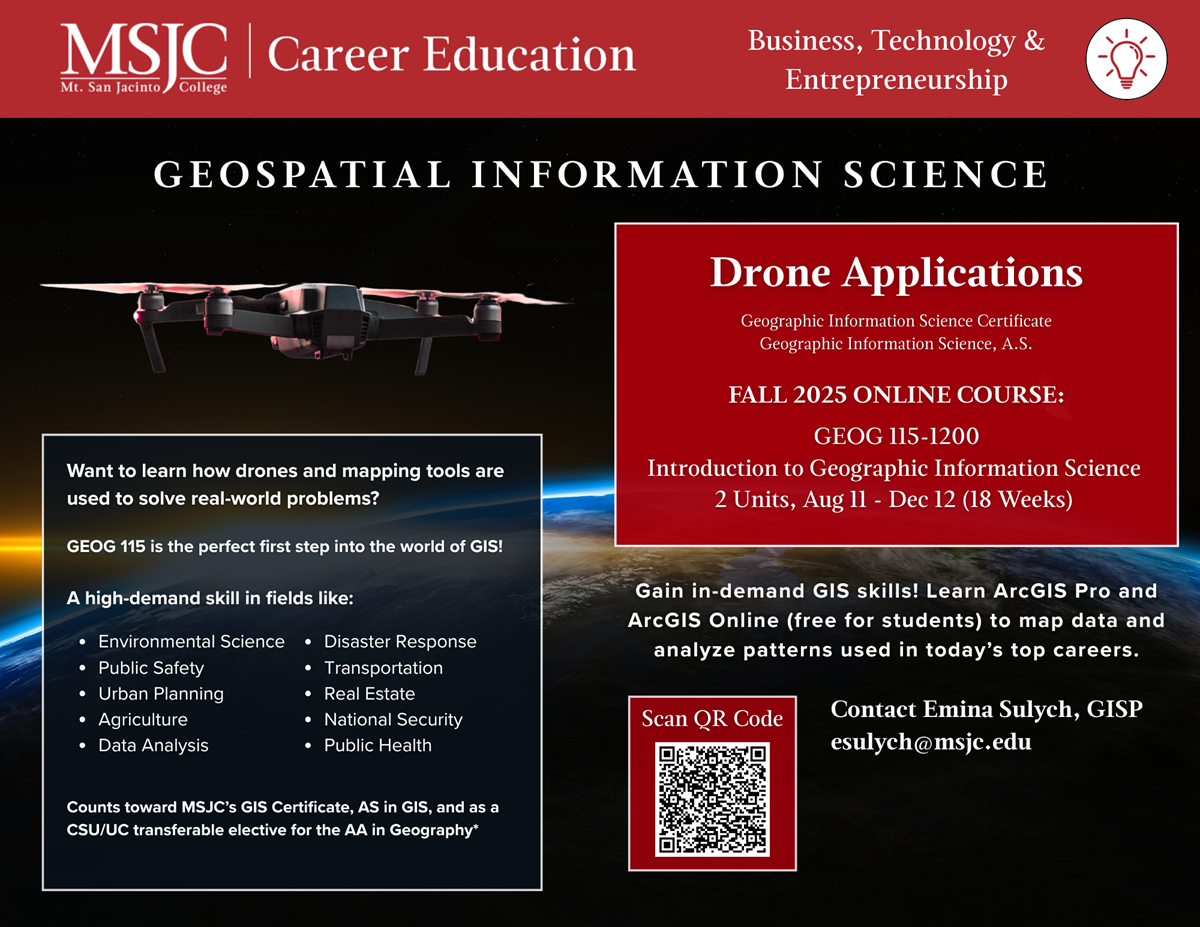
Geospatial Information Science
Map the Future with GIS and Drone Technology at MSJC
Ever wondered how Starbucks decides where to open its next store, how disaster teams map wildfire zones, or how drones deliver packages? These answers come from professionals trained in Geographic Information Science (GIS)—a powerful technology that uses data and maps to solve real-world problems.
What is GIS?
GIS is the science of collecting, mapping, and analyzing location-based data. It's used in nearly every industry—from environmental science and urban planning to public safety, transportation, agriculture, and beyond. GIS helps reveal patterns, trends, and relationships that guide smarter decisions.
Why Drones?
Recent advances in drone technology (sUAS) have transformed how GIS data is collected. Drones can capture high-resolution imagery and real-time data faster and more affordably than ever before, making drone pilots with GIS skills in high demand.
Career Paths with GIS & Drone Skills
Completing GEOG 115 and advancing through MSJC's Drone Applications in Geospatial Information Science Certificate or GIS A.S. Degree can open doors to careers across diverse industries.
Possible roles include:
-
Drone Pilot / sUAS Operator
-
GIS Technician or Analyst
-
Remote Sensing Specialist
-
Surveying & Mapping Technician
-
Cartographer / Digital Mapping Specialist
-
Environmental Data Technician
-
Geospatial Intelligence Analyst
-
Urban & Regional Planning Technician
-
Public Safety Mapping Specialist
-
Natural Resource Management Technician
Industries hiring these roles:
-
Environmental science & natural resource management
-
Urban planning & community development
-
Public safety & disaster response
-
Agriculture & precision farming
-
Construction, utilities, & infrastructure
-
Real estate, transportation, & logistics
Why Choose MSJC's Program?
MSJC's GIS and Drone Applications program gives you the hands-on training you need to start or advance a career in this growing field. You'll learn to use industry-standard tools like ArcGIS Pro and ArcGIS Online, gain hands-on drone flight experience, and build real-world projects that prepare you for the job market or transfer to a four-year program.
What you'll gain:
-
Cutting-edge mapping, data analysis, and drone flight skills
-
Preparation for FAA Part 107 certification (for commercial drone pilots)
-
Experience with professional GIS software used worldwide
-
Opportunities to work on projects that tackle real-world issues
-
Skills that lead to careers in environmental science, public safety, urban planning, transportation, agriculture, and more
Program Options
-
Degree:
-
A.S. in Geographic Information Science (Non-transfer degree)
-
-
Certificates:
-
Drone Applications in Geospatial Information Science
-
Geographic Information Science
-
-
Employment Concentration
-
Geographic Information Science Employment Concentration
-
Ready to Get Started?
The first step is GEOG 115: Introduction to Geographic Information Science, a fully online course that gives you a solid foundation in GIS and prepares you for advanced courses in drone technology and data analysis.
Contact
San Jacinto and Menifee Valley Campus
(951) 672-MSJC (6752)
1-800-452-3335
Emina Sulych, GISP
esulych@msjc.edu


 Fall 2025 Drone Applications class at MSJC